02-27-2011, 11:50 AM
Hi guys.
Yesterday we had another nice MP Session. Unfortunately only Dave and I were joining. Stefaan and Vic had announced that they were not able to join, but Pär also didn't show up. I hope he is OK.
Well, lets start with a map of the route.
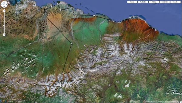
It weren't so long distances as you might think now, as some of the airfields are only a few miles apart from each other. The map above differs a little bit from the original flightplan as some of the destinations weren't available in FS9. OK, I said that only Dave was with me and he followed me blind - double minded - as he sometimes didn't see anything. He almost didn't see the ground until he hit it (hard).
After waiting for some time for Pär to show up, which didn't happen, we taxied to RWY 19 at Anaktuvuk Pass.
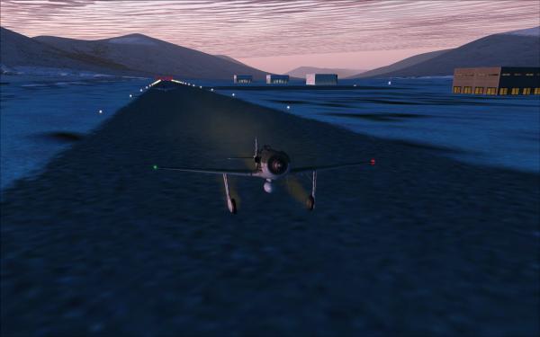
First airfield for a touch and go was Chandalar Shelf (SCD) and here I am airborne again. This was one of the easier approaches, not due to the terrain, but due to weather.
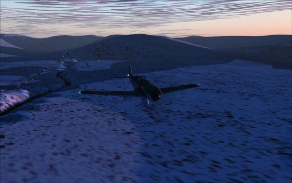
The sun was barely up and some places below us were still covered in darkness. Dave is following me...
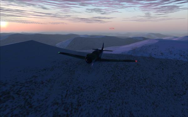
On final to Galbraith Lake (PAGB).
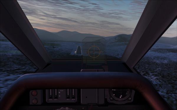
Dave is settling in behind for his touch and go...
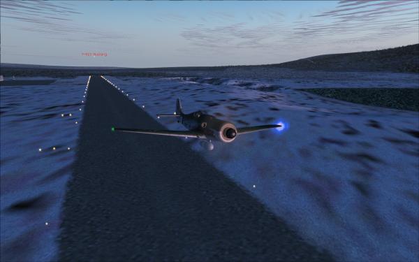
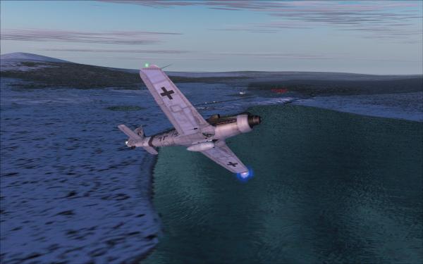
Sun glow.
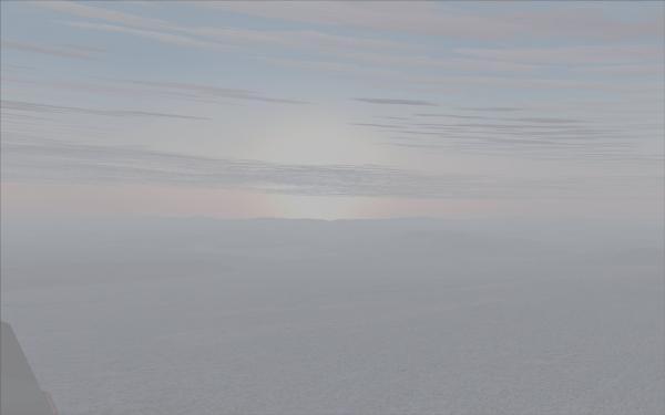
A field of clouds is laying, or should I say standing from the ground to some altitude, in front of us. Now let the fun begin.
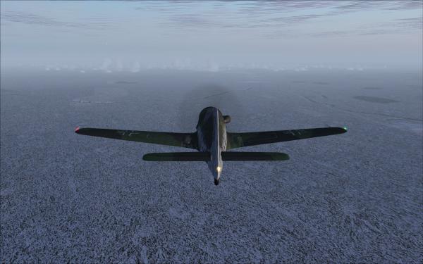
Touch and go at Sagwon (SAG) in snow and low cloud layer.
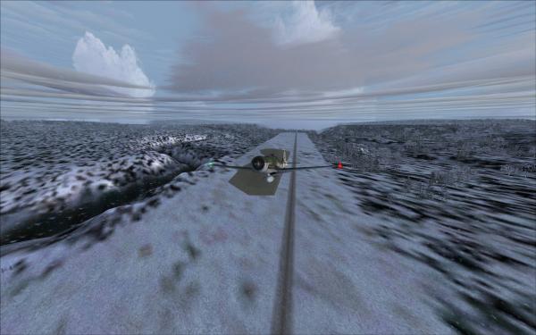
Next was Nuiqsut (PAQT).
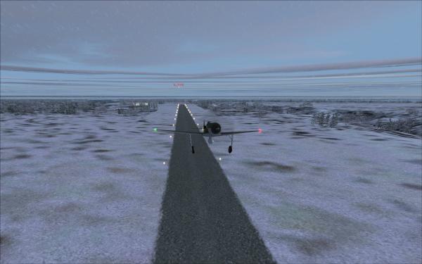
About 8 minutes later another touch and go at Alpine Airstrip (AK15).
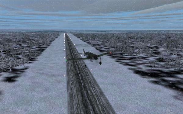
Another approach to Alpine Airstrip. don't let you fool by the obviously good visibility below the clouds. If you are above these clouds, which appear like cirrus clouds according to thickness you almost can't see anything on the ground.
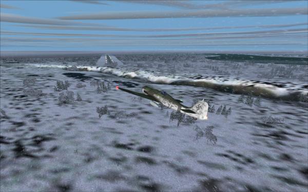
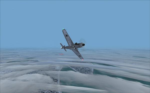
Next picture was taken after the touch and go at Oliktok (POLI). I did not take a picture at Helmericks (22AK).
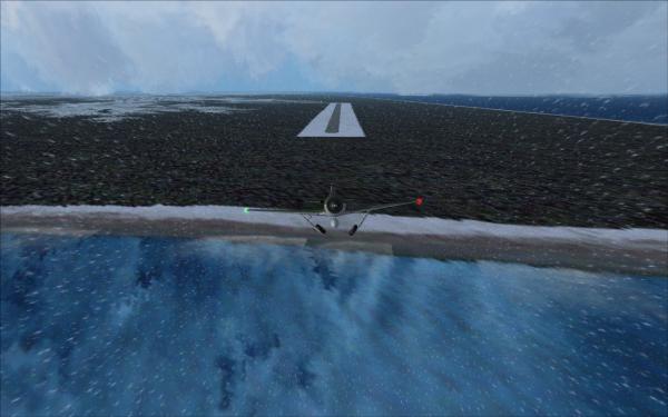
I also didn't take a picture at Ugnu-Kuparuk (UBW), but at Point McIntyre (AK11).
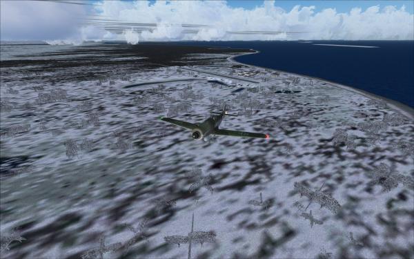
Next destination was Deadhorse (PASC).
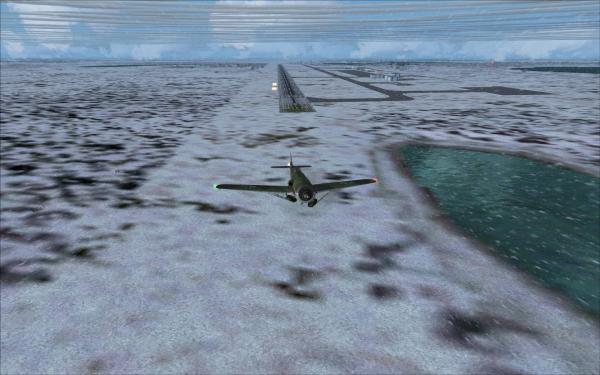
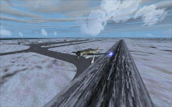
Dave was still with me this time near Deadhorse.
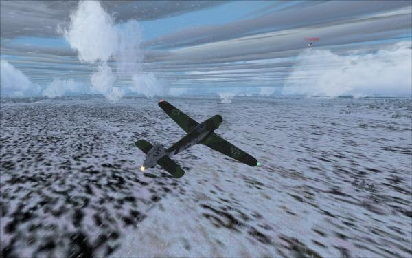
This picture was taken after the touch and go at Bullen Point Air force Station (8AK7).
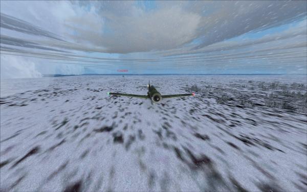
Then an overhead picture of Brown Low Point (AK99). The runway was too short for my aircraft and we had too strong cross winds in access of over 30 knots and only a 2000 feet gravel runway. I considered it too dangerous to attempt an approach
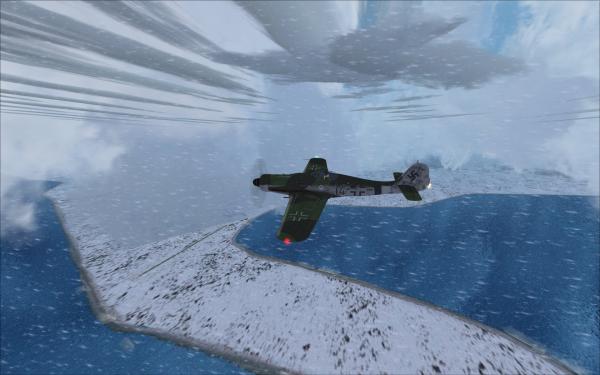
Then we arrived at Barter Island LRRS (PABA) our final destination. I am currently on the downwind leg for RWY 24.
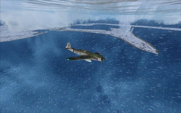
On final, still a little bit too high.
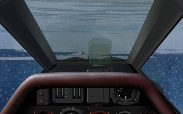
Roll out with Dave arriving behind me.
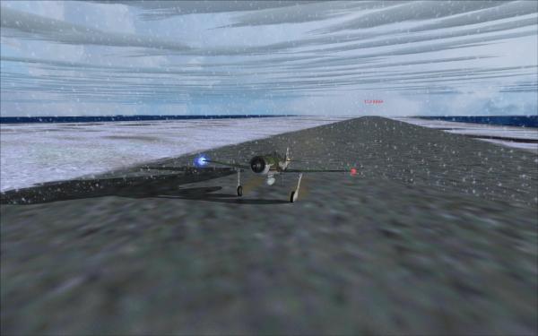
Dave is about to taxi in and join me right wing.
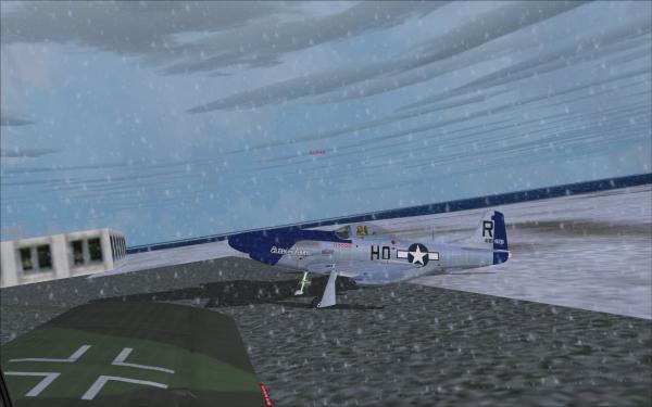
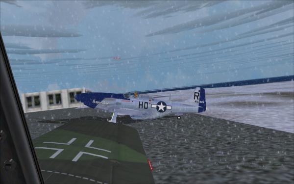
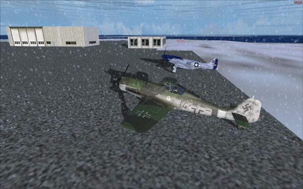
Wow, although we were only two pilots it was fun flying this route. It was somehow the weather which made it somehow special today. But i will be glad if we move down South again...
So hopefully I will see you all back next Saturday.
Have a nice weekend.
Yesterday we had another nice MP Session. Unfortunately only Dave and I were joining. Stefaan and Vic had announced that they were not able to join, but Pär also didn't show up. I hope he is OK.
Well, lets start with a map of the route.
It weren't so long distances as you might think now, as some of the airfields are only a few miles apart from each other. The map above differs a little bit from the original flightplan as some of the destinations weren't available in FS9. OK, I said that only Dave was with me and he followed me blind - double minded - as he sometimes didn't see anything. He almost didn't see the ground until he hit it (hard).
After waiting for some time for Pär to show up, which didn't happen, we taxied to RWY 19 at Anaktuvuk Pass.
First airfield for a touch and go was Chandalar Shelf (SCD) and here I am airborne again. This was one of the easier approaches, not due to the terrain, but due to weather.

The sun was barely up and some places below us were still covered in darkness. Dave is following me...
On final to Galbraith Lake (PAGB).
Dave is settling in behind for his touch and go...
Sun glow.
A field of clouds is laying, or should I say standing from the ground to some altitude, in front of us. Now let the fun begin.

Touch and go at Sagwon (SAG) in snow and low cloud layer.
Next was Nuiqsut (PAQT).
About 8 minutes later another touch and go at Alpine Airstrip (AK15).
Another approach to Alpine Airstrip. don't let you fool by the obviously good visibility below the clouds. If you are above these clouds, which appear like cirrus clouds according to thickness you almost can't see anything on the ground.
Next picture was taken after the touch and go at Oliktok (POLI). I did not take a picture at Helmericks (22AK).
I also didn't take a picture at Ugnu-Kuparuk (UBW), but at Point McIntyre (AK11).
Next destination was Deadhorse (PASC).
Dave was still with me this time near Deadhorse.
This picture was taken after the touch and go at Bullen Point Air force Station (8AK7).
Then an overhead picture of Brown Low Point (AK99). The runway was too short for my aircraft and we had too strong cross winds in access of over 30 knots and only a 2000 feet gravel runway. I considered it too dangerous to attempt an approach

Then we arrived at Barter Island LRRS (PABA) our final destination. I am currently on the downwind leg for RWY 24.
On final, still a little bit too high.
Roll out with Dave arriving behind me.
Dave is about to taxi in and join me right wing.
Wow, although we were only two pilots it was fun flying this route. It was somehow the weather which made it somehow special today. But i will be glad if we move down South again...
So hopefully I will see you all back next Saturday.
Have a nice weekend.
Guess who?


