01-17-2010, 02:37 PM
The sequel.... some pictures of the second leg: CYYC Calgary - CAB5 Bronson Creek
Weather at Calgary was looking good this morning, and the metar confirmed this:
CYYC 170800Z CCA 19006KT 15SM SKC M07/M10 A2975 RMK FROIN SLP125
Cold, but very good visibility, and off we went.. climbing out of RWY 16 to a cruise level of FL220.
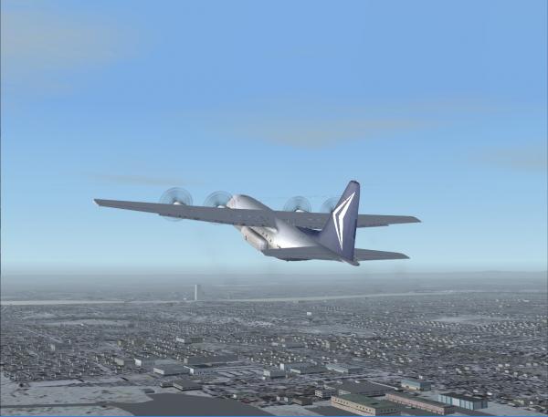
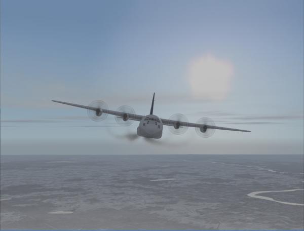
Arriving over the Tongass Narrows, looked like we would dodge some clouds before arriving at the destination...
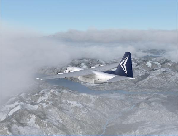
The clould cover remained for the rest of the trip, and so I planned to arrive at Level Island at 2.000ft to fly up the Stikine River by hand under the cloud base of 4500ft. Metar for Wrangell gave:
PAWG 171036Z 14009G14KT 10SM BKN045 OVC050 06/00 A2912
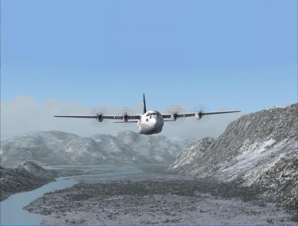
Just past Level Island at 2.000ft
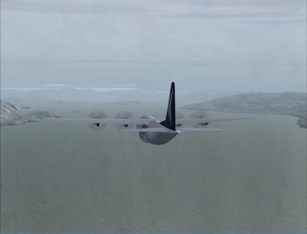
And off we went for a nice 'hands on' flight over the Stikine River guiding the Hercules in between the mountains.
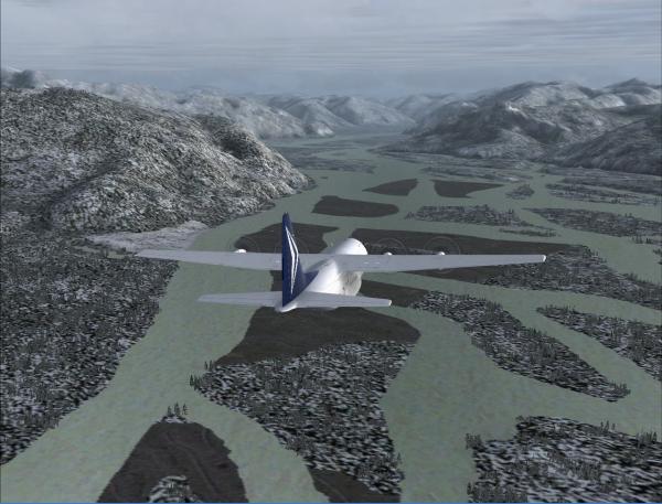
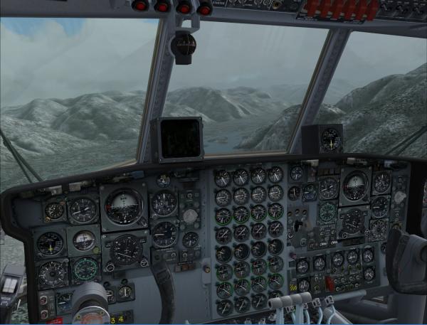
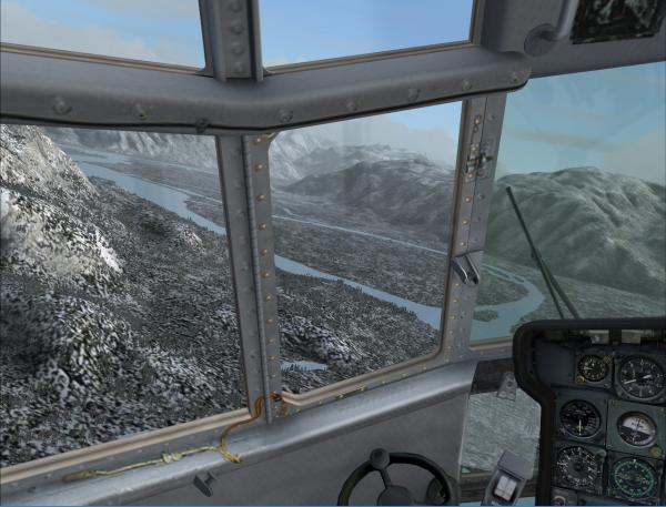
Final bend guiding us towards the location of Bronson Creek a couple of miles further on...
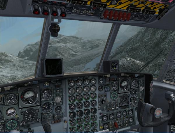
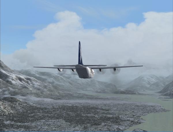
Vagely remembering my last flight into Bronson Creek in the spring of 2009, I'd decided to be early prepared for landing... all is out and down ...
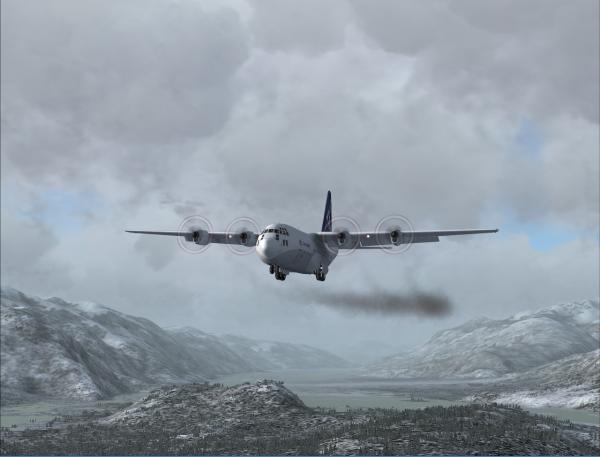
Now If I'm not mistaken that should be the smoke plume of the Bronson Creek cabin, but I'm having my doubts...
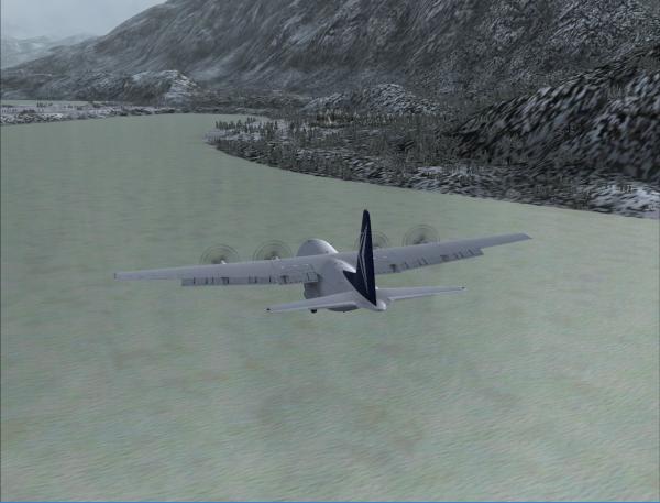
Yep, sure was, but I'm a bit too much in an awkward position now to turn for final... so off we went for a full left turn in the opening of the valley ahead.... still turning on a dime though with a C130...
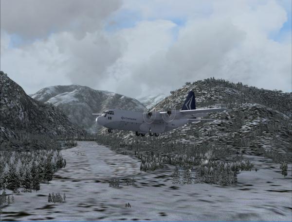
Looks like this time round we're positioned at a much better angle to shoot the approach to RWY21 at Bronson Creek... and by looking at the mountains near the far end of the 'runway' ... the only way in...
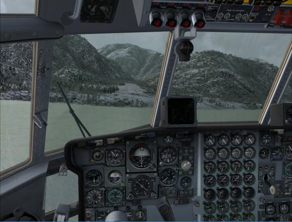
Once hitting solid bottom, full reverse and we got 'Herky' to a stop near halfway the runway.
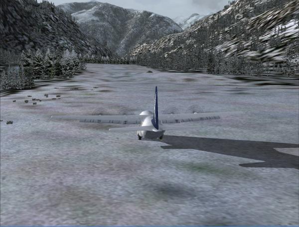
OK, we've made it... now let's get that equipment unloaded so we can enjoy a big pint ..... really having a dry mouth after this exciting ride
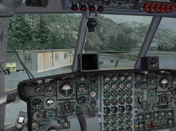
Weather at Calgary was looking good this morning, and the metar confirmed this:
CYYC 170800Z CCA 19006KT 15SM SKC M07/M10 A2975 RMK FROIN SLP125
Cold, but very good visibility, and off we went.. climbing out of RWY 16 to a cruise level of FL220.
Arriving over the Tongass Narrows, looked like we would dodge some clouds before arriving at the destination...
The clould cover remained for the rest of the trip, and so I planned to arrive at Level Island at 2.000ft to fly up the Stikine River by hand under the cloud base of 4500ft. Metar for Wrangell gave:
PAWG 171036Z 14009G14KT 10SM BKN045 OVC050 06/00 A2912
Just past Level Island at 2.000ft
And off we went for a nice 'hands on' flight over the Stikine River guiding the Hercules in between the mountains.
Final bend guiding us towards the location of Bronson Creek a couple of miles further on...
Vagely remembering my last flight into Bronson Creek in the spring of 2009, I'd decided to be early prepared for landing... all is out and down ...
Now If I'm not mistaken that should be the smoke plume of the Bronson Creek cabin, but I'm having my doubts...
Yep, sure was, but I'm a bit too much in an awkward position now to turn for final... so off we went for a full left turn in the opening of the valley ahead.... still turning on a dime though with a C130...
Looks like this time round we're positioned at a much better angle to shoot the approach to RWY21 at Bronson Creek... and by looking at the mountains near the far end of the 'runway' ... the only way in...
Once hitting solid bottom, full reverse and we got 'Herky' to a stop near halfway the runway.
OK, we've made it... now let's get that equipment unloaded so we can enjoy a big pint ..... really having a dry mouth after this exciting ride

STefaan Cappelle
TCA2050
TCA2050


![[Image: T~C-small.jpg]](http://www.tca-charter.de/Forum/T~C-small.jpg)
![[Image: adming.gif]](http://www.tca-charter.de/Forum/adming.gif)
![[Image: Germanysmall.png]](http://www.tca-charter.de/Forum/Germanysmall.png)

