Hi guys,
today/tonight we will fly from Anchorage to Seattle. Generally there are two different routes:
Route A: JOH J501 YZP J523 YZT J502 YYJ JWBN1
Route B: MDO J804R FRIED TRK19 YZP J523 TOU JAWBN1
Here is a picture of the two routes compared. Route A is red!
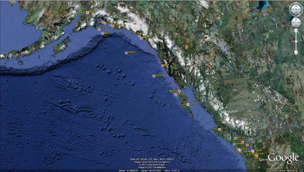
Stefaan and I are planning to depart from Elmendorf AFB as I am taking the YAL-1 and Stefaan uses an F-16C. Dave was departing from Anchorage Stevens with a B757-200, but later changed to the good old DC-10.
For the flight planning today I did a route comparison of the three routes. Yes, three routes and indeed it appeared that route 3 it would be: EEEGL1-EEEGL DCT YESKA J133 LAIRE DCT BKA J501 YZP J523 TOU JAWBN1
Route comparison:
 Route comparison.pdf (Size: 4.31 KB / Downloads: 2)
First we had to look at the satellite image of the relevant area to get an impression about what to expect.
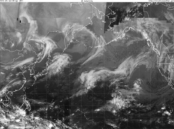
And last but not least the weather forecast:
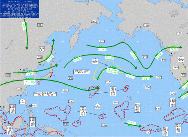
This all lead to the final flightplan:
 TCA0050_099OFP.pdf (Size: 11.32 KB / Downloads: 1)
Finally we had also the relevant weather for some en-route airports and our alternates as well. For some reason McChord AFB is missing
 Weather.pdf (Size: 4.5 KB / Downloads: 1)
OK, here we are at the parking spot with Stefaan in the background.
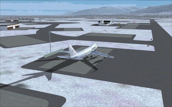
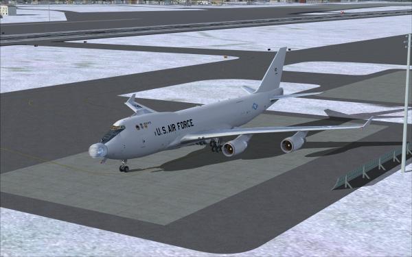
With a very light aircraft of only 192.6 tons ZFW plus 56 tons of fuel we would use flaps-10 and a de-rated thrust of 70°C TO2
 TAKE-OFF RESULTS 50 PAED RWY24 09APR11.txt (Size: 1.23 KB / Downloads: 1)
Then we finally taxied to RWY 06 and prepared for departure.
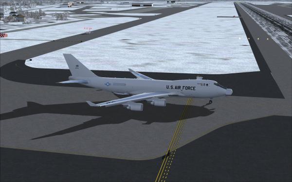
Stefaan preparing as well - he waited some time to not get hit by my wake turbulence. more far away at Stevens you can see Dave's callsign.
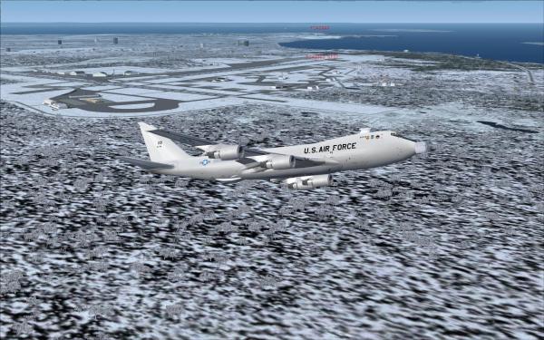
Climbing out on EEEGL1 departure.
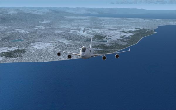
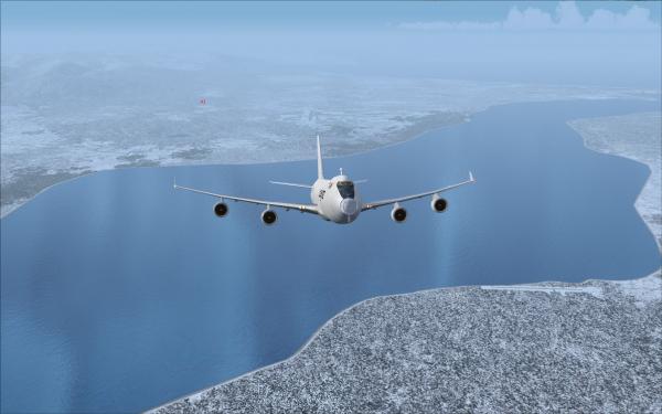
After passing EEEGL intersection we turned around and headed to YESKA intersection to join our route.
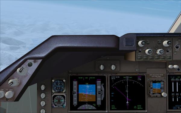
After 16 minutes we leveled off at FL370 at a cruise speed of M 0.887. Cost Index was 430
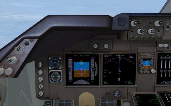
Stefaan is joining me on my left hand wing.
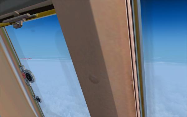
He maybe took this shot?
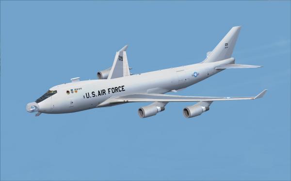
Right now we are passing by near Ketchikan and Annette Island.
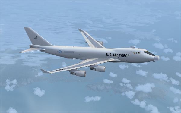
Next was Sandspit (YZP).
And the turn for Port Hardy (YZT).
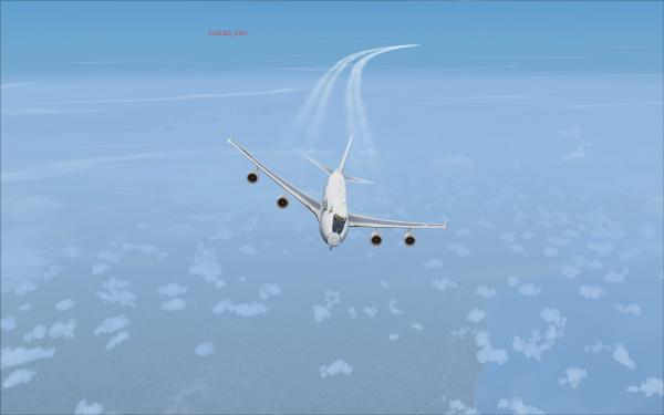
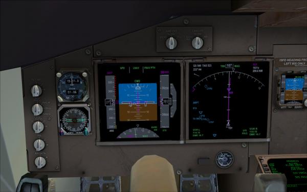
We meanwhile climbed to FL390 some time earlier and here is a closer look on the flight displays.
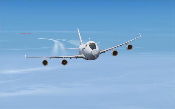
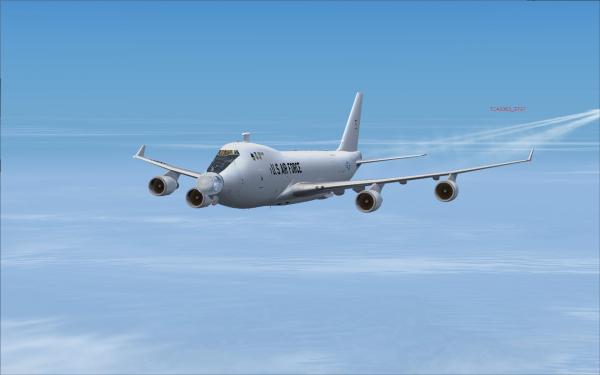
I somehow can't get rid of Stefaan.
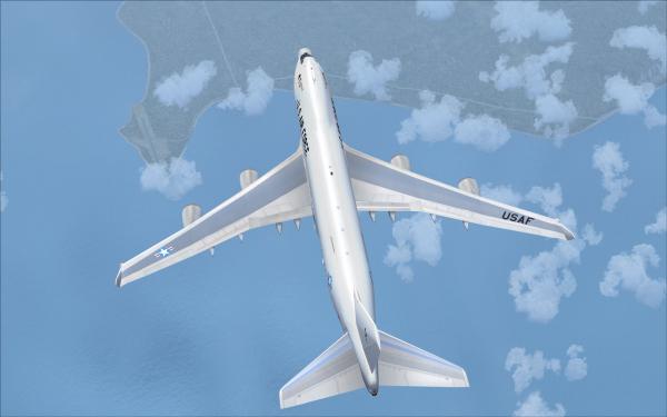
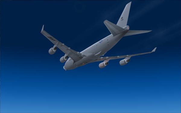
A belly shot.
More in the next post.
today/tonight we will fly from Anchorage to Seattle. Generally there are two different routes:
Route A: JOH J501 YZP J523 YZT J502 YYJ JWBN1
Route B: MDO J804R FRIED TRK19 YZP J523 TOU JAWBN1
Here is a picture of the two routes compared. Route A is red!
Stefaan and I are planning to depart from Elmendorf AFB as I am taking the YAL-1 and Stefaan uses an F-16C. Dave was departing from Anchorage Stevens with a B757-200, but later changed to the good old DC-10.
For the flight planning today I did a route comparison of the three routes. Yes, three routes and indeed it appeared that route 3 it would be: EEEGL1-EEEGL DCT YESKA J133 LAIRE DCT BKA J501 YZP J523 TOU JAWBN1
Route comparison:
 Route comparison.pdf (Size: 4.31 KB / Downloads: 2)
First we had to look at the satellite image of the relevant area to get an impression about what to expect.
And last but not least the weather forecast:
This all lead to the final flightplan:
 TCA0050_099OFP.pdf (Size: 11.32 KB / Downloads: 1)
Finally we had also the relevant weather for some en-route airports and our alternates as well. For some reason McChord AFB is missing

 Weather.pdf (Size: 4.5 KB / Downloads: 1)
OK, here we are at the parking spot with Stefaan in the background.
With a very light aircraft of only 192.6 tons ZFW plus 56 tons of fuel we would use flaps-10 and a de-rated thrust of 70°C TO2
 TAKE-OFF RESULTS 50 PAED RWY24 09APR11.txt (Size: 1.23 KB / Downloads: 1)
Then we finally taxied to RWY 06 and prepared for departure.
Stefaan preparing as well - he waited some time to not get hit by my wake turbulence. more far away at Stevens you can see Dave's callsign.
Climbing out on EEEGL1 departure.
After passing EEEGL intersection we turned around and headed to YESKA intersection to join our route.
After 16 minutes we leveled off at FL370 at a cruise speed of M 0.887. Cost Index was 430

Stefaan is joining me on my left hand wing.
He maybe took this shot?
Right now we are passing by near Ketchikan and Annette Island.
Next was Sandspit (YZP).
And the turn for Port Hardy (YZT).
We meanwhile climbed to FL390 some time earlier and here is a closer look on the flight displays.
I somehow can't get rid of Stefaan.

A belly shot.
More in the next post.


![[Image: T~C-small.jpg]](http://www.tca-charter.de/Forum/T~C-small.jpg)
![[Image: adming.gif]](http://www.tca-charter.de/Forum/adming.gif)
![[Image: Germanysmall.png]](http://www.tca-charter.de/Forum/Germanysmall.png)
