01-31-2010, 05:50 PM
Well, this Straw-16 flight had nothing to do with straw itself. It was all about carrying two moose half's to Kaltag, all in all about 700 pounds of meat and bones.
I planned to depart at around 23:00Z at almost the time our MDSA would also depart for Unalakleet (PAUN).
Ok, it was time to get ready.
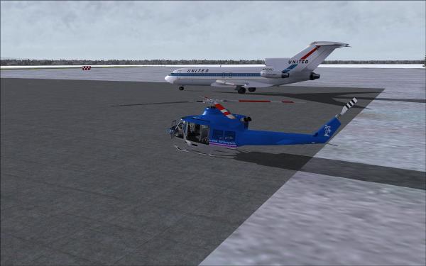
And short time later we were starting the engines to warm them up before we would depart.
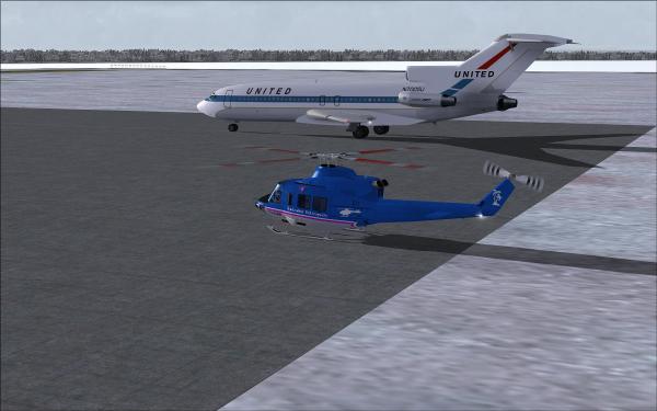
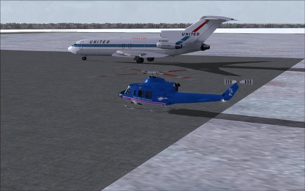
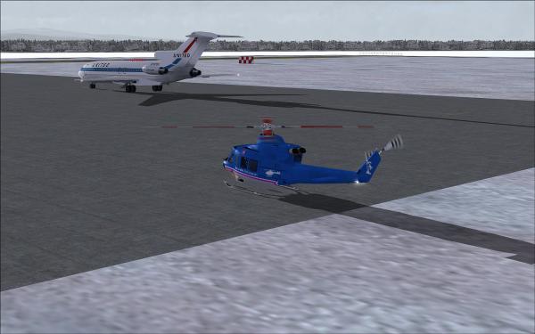
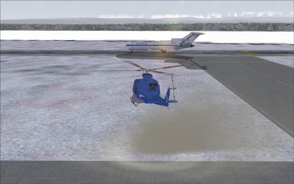
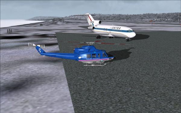
Then the B721 received IFR clearance and it taxied to RWY 07 for departure. We hovered near the aircraft and watched the departure until we headed to Kaltag.
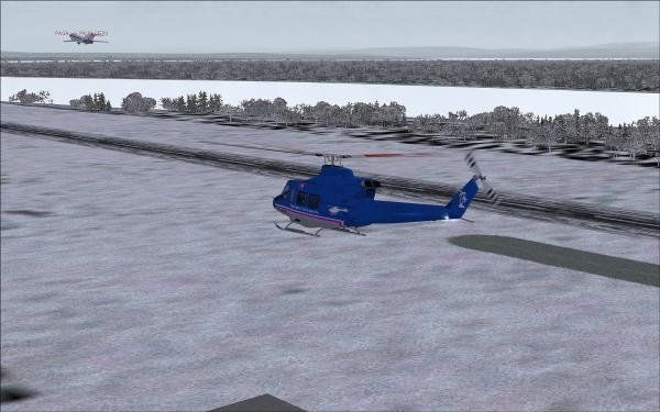
Shortly after departure from Galena it started to snow and the visibility almost dropped to zero.
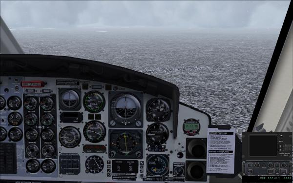
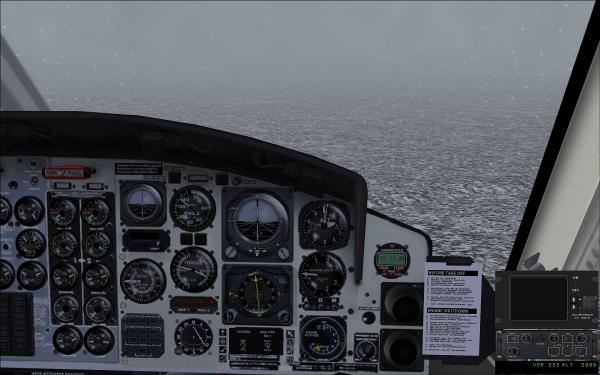
We had some problems finding Kaltag airfield, so we had to take a closer look at the GPS then. But then we finally found the airfield.
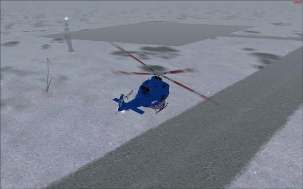
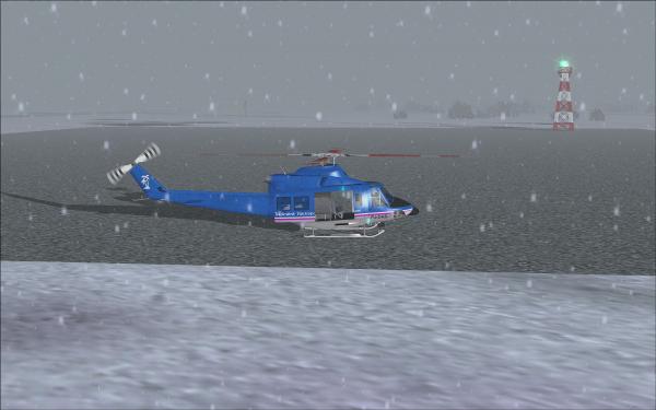
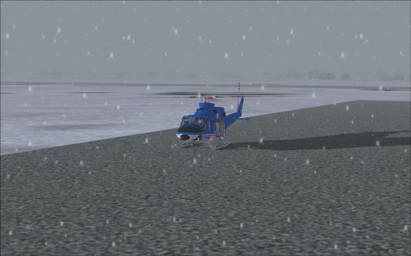
We quickly unloaded the two moose half's and took off for Unalakleet. First we stayed low, but later the terrain rose and we decided to climb to 3000 feet and let the autopilot do it's job.
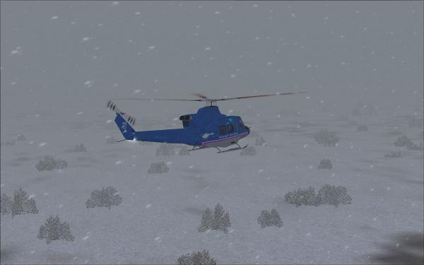
Later on the weather improved and we could see Unalakleet from some distance.
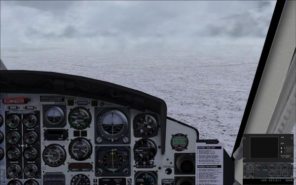
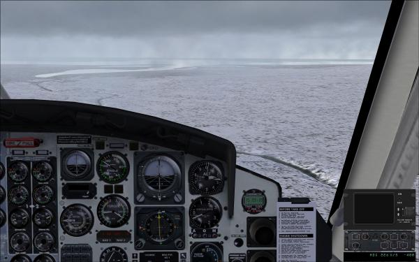
Well, the MDSA was already parked on the apron (gravel base, but no problem for a B727) as we approached across RWY 26.
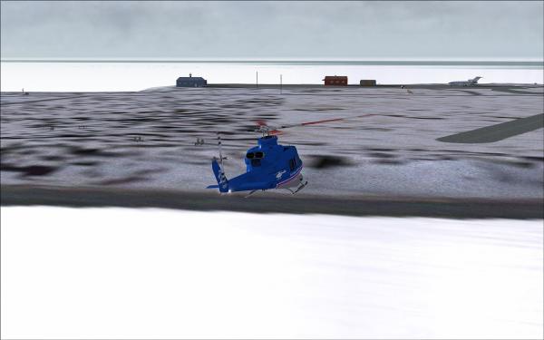
Back on the ground and next to our MDSA. Now shut down, grab our belongings and head over to Brown's Lodge to get a nice and warm place to spend the next few nights.
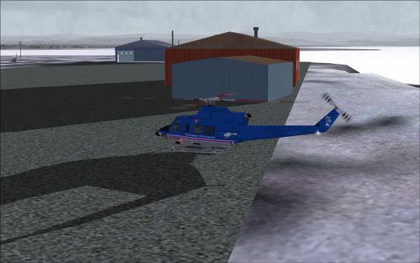
If anybody is interested in a file for Kaltag airfield just give me a call. I have done an ADE file for it based on a satellite image.
Ok, total flying time for both legs was 58 minutes (PAGA-KAL: 0:28 and KAL-PAUN: 0:30).
Now we can take the next assignments...
I planned to depart at around 23:00Z at almost the time our MDSA would also depart for Unalakleet (PAUN).
Ok, it was time to get ready.
And short time later we were starting the engines to warm them up before we would depart.
Then the B721 received IFR clearance and it taxied to RWY 07 for departure. We hovered near the aircraft and watched the departure until we headed to Kaltag.
Shortly after departure from Galena it started to snow and the visibility almost dropped to zero.
We had some problems finding Kaltag airfield, so we had to take a closer look at the GPS then. But then we finally found the airfield.
We quickly unloaded the two moose half's and took off for Unalakleet. First we stayed low, but later the terrain rose and we decided to climb to 3000 feet and let the autopilot do it's job.
Later on the weather improved and we could see Unalakleet from some distance.
Well, the MDSA was already parked on the apron (gravel base, but no problem for a B727) as we approached across RWY 26.
Back on the ground and next to our MDSA. Now shut down, grab our belongings and head over to Brown's Lodge to get a nice and warm place to spend the next few nights.

If anybody is interested in a file for Kaltag airfield just give me a call. I have done an ADE file for it based on a satellite image.
Ok, total flying time for both legs was 58 minutes (PAGA-KAL: 0:28 and KAL-PAUN: 0:30).
Now we can take the next assignments...


![[Image: T~C-small.jpg]](http://www.tca-charter.de/Forum/T~C-small.jpg)
![[Image: adming.gif]](http://www.tca-charter.de/Forum/adming.gif)
![[Image: Germanysmall.png]](http://www.tca-charter.de/Forum/Germanysmall.png)


